


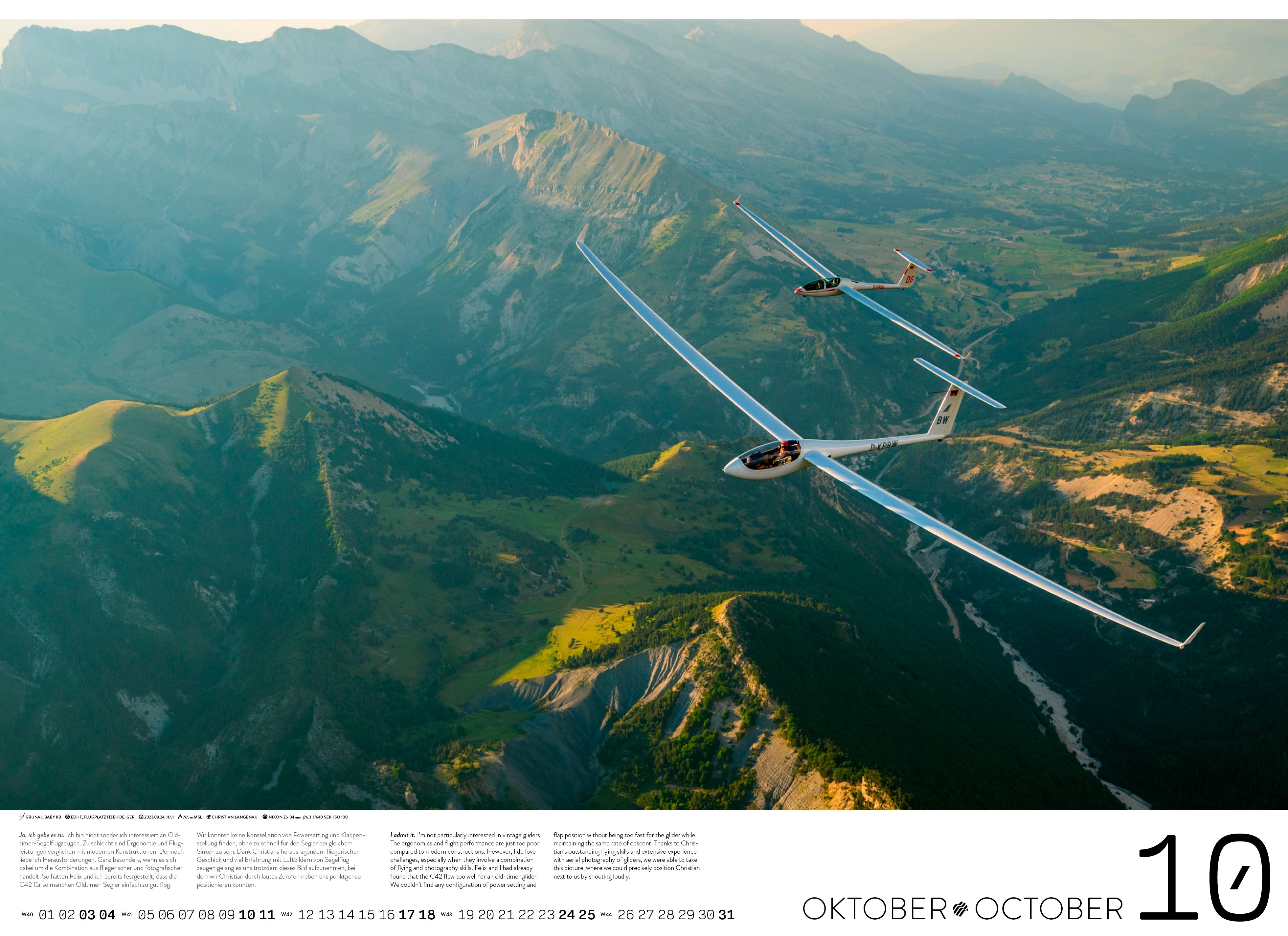
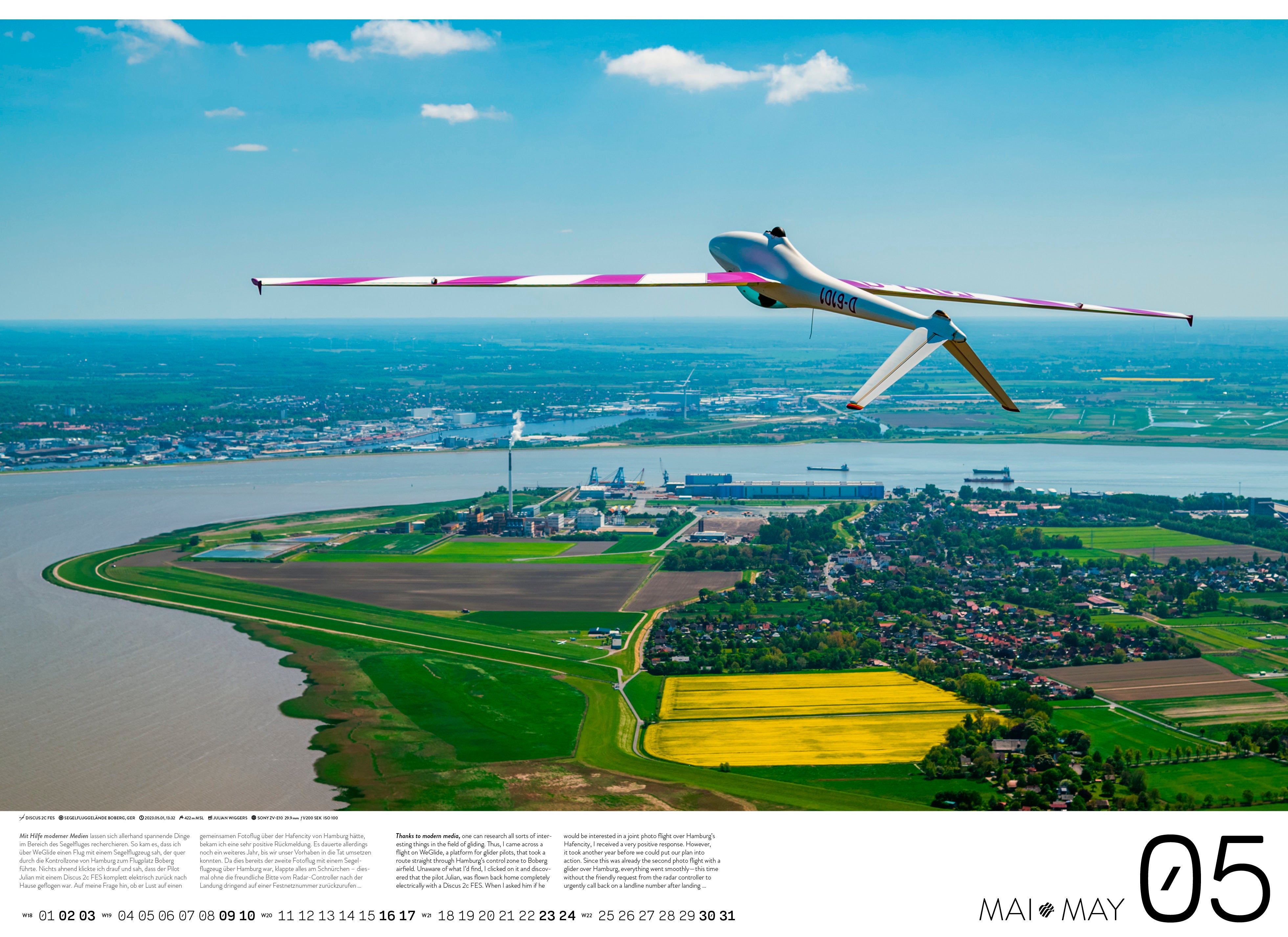

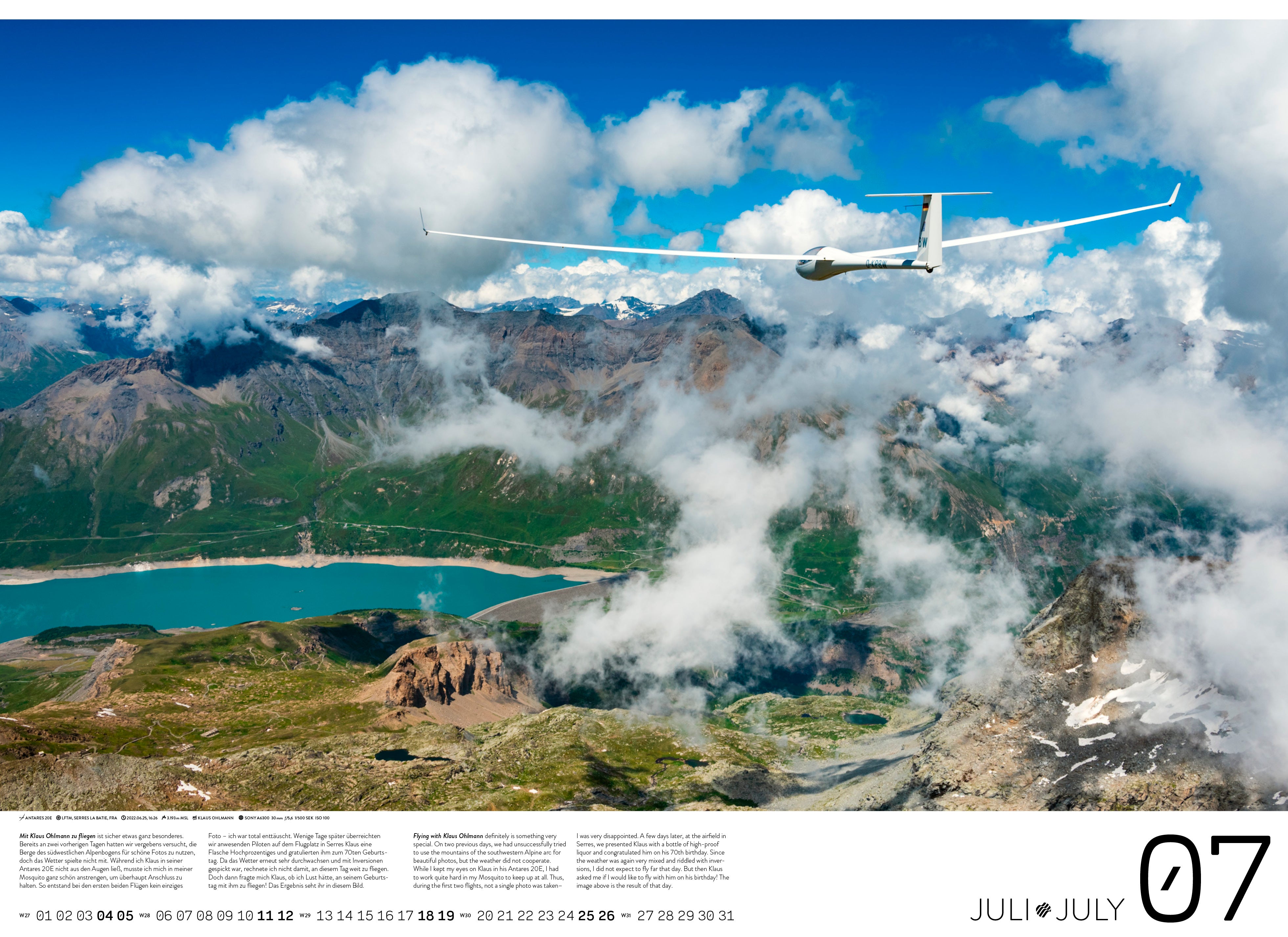

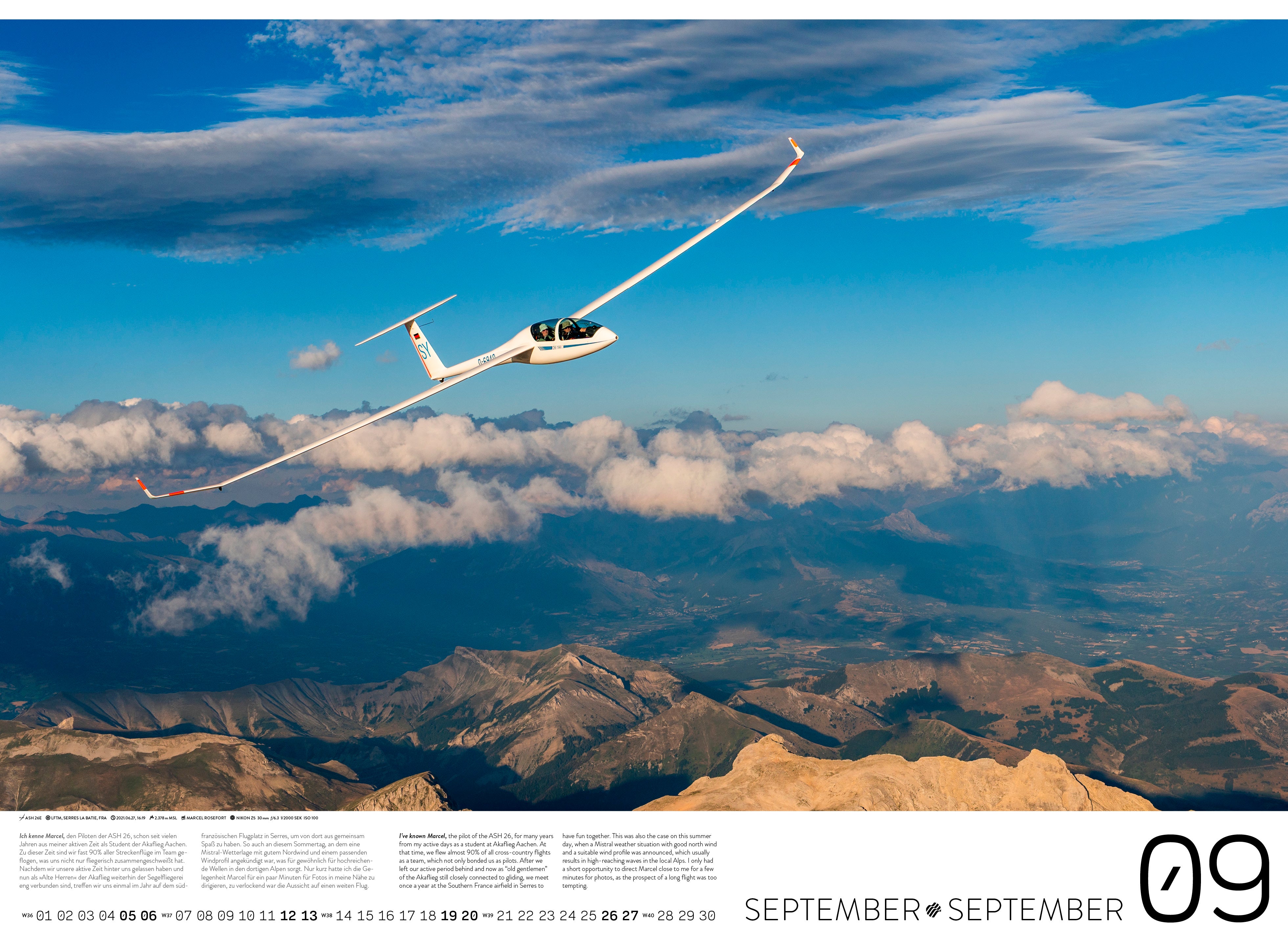


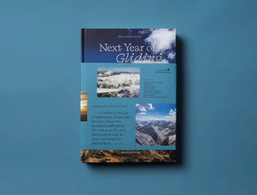
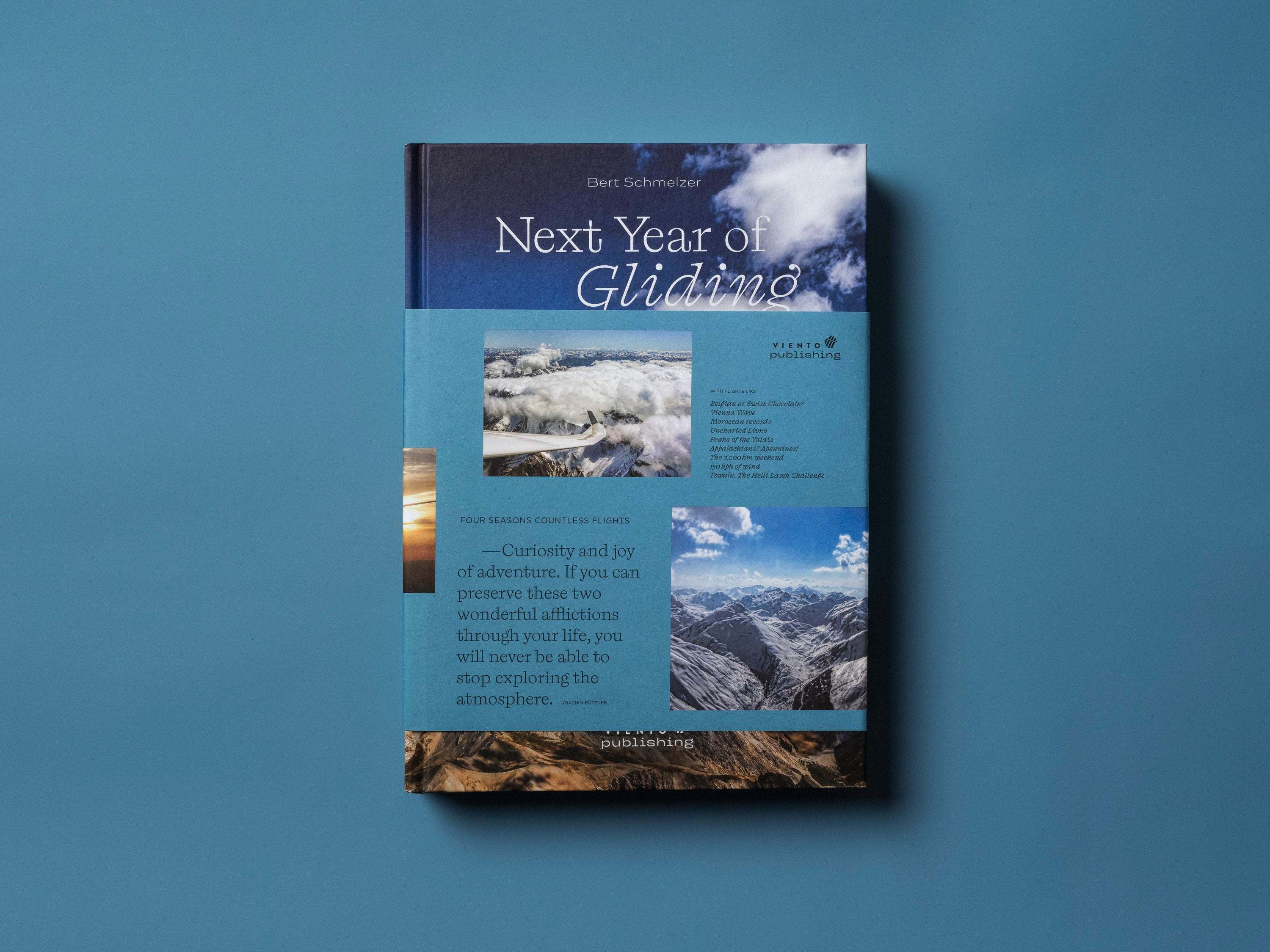
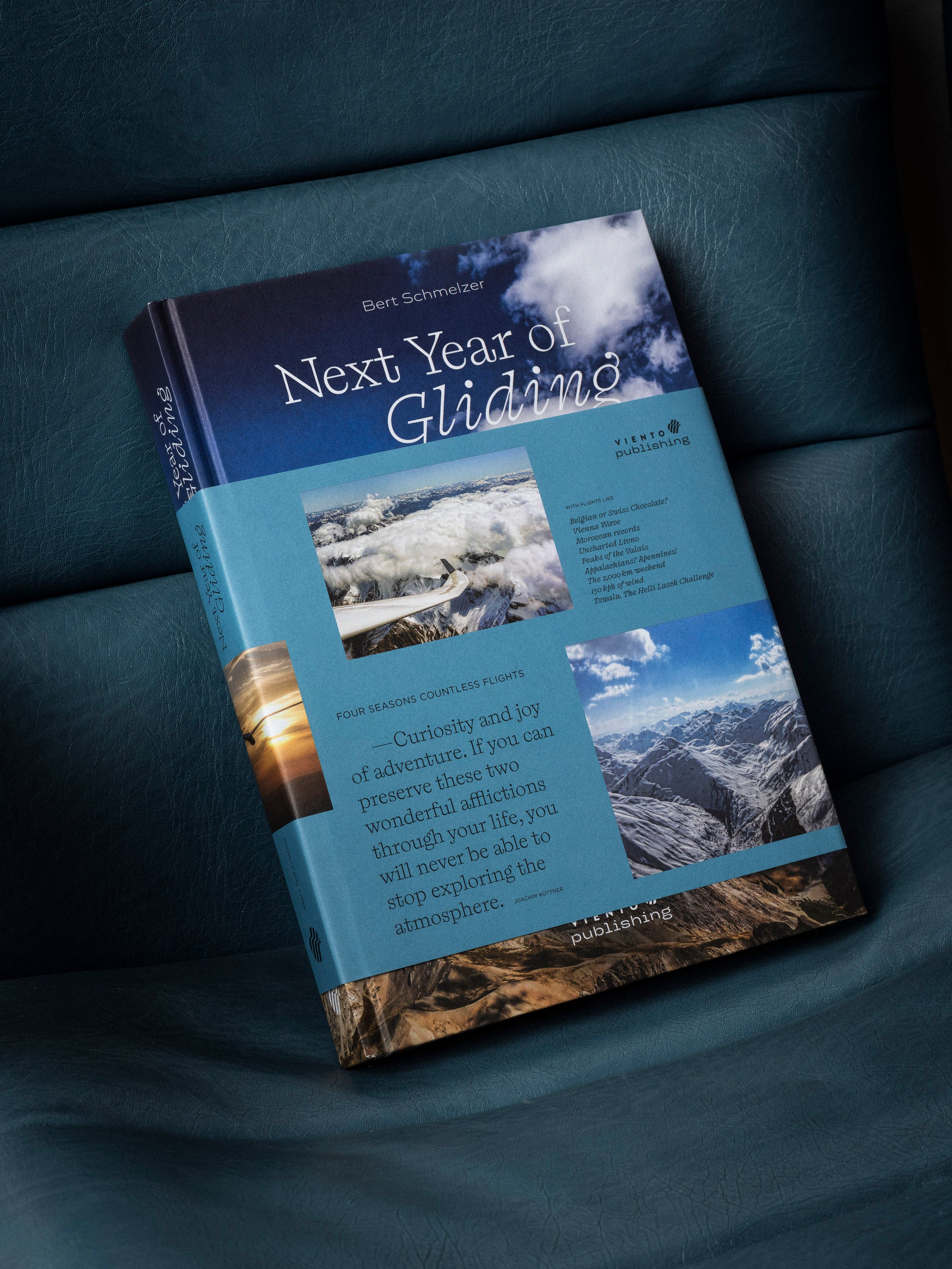
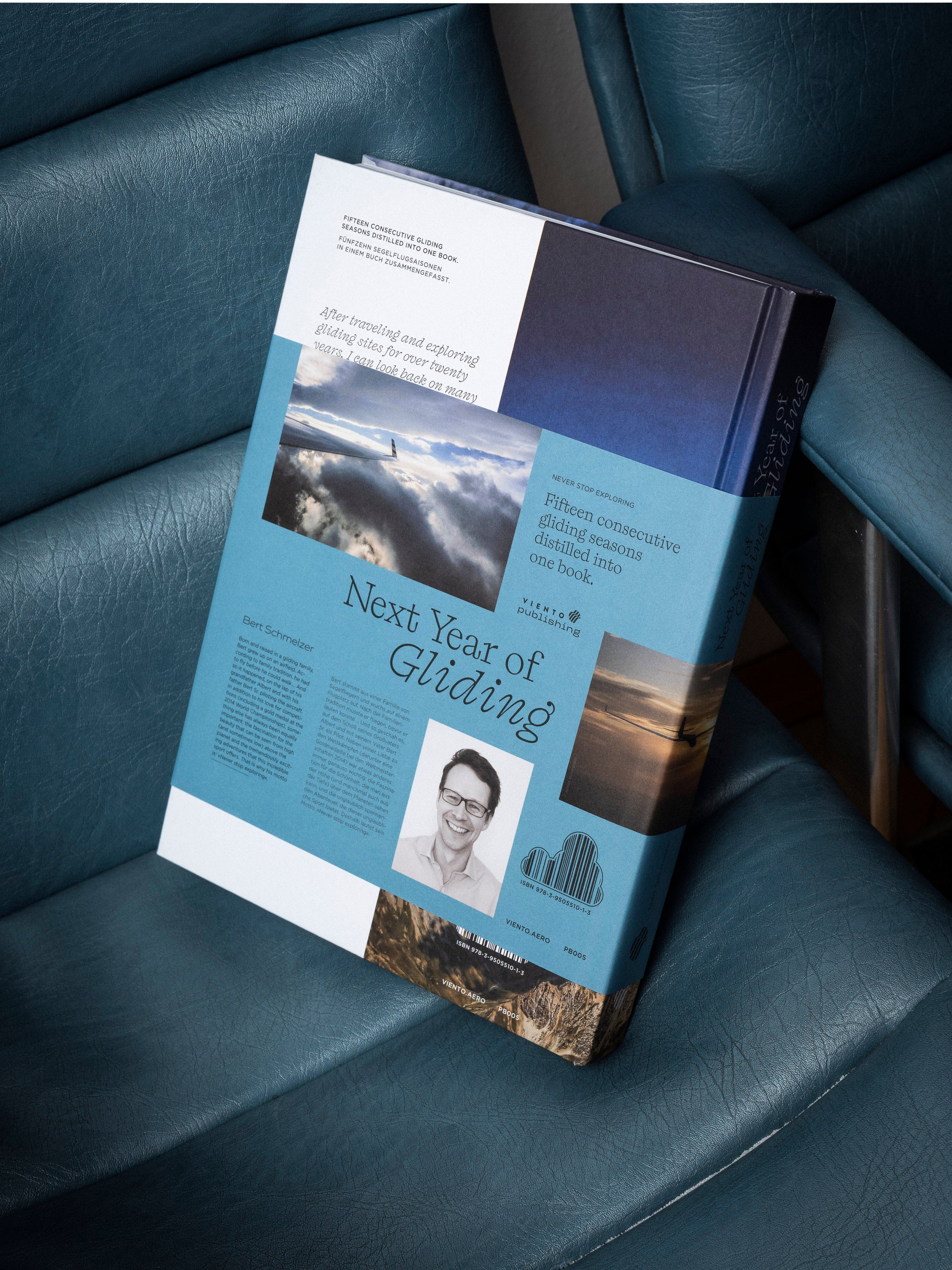


13% off


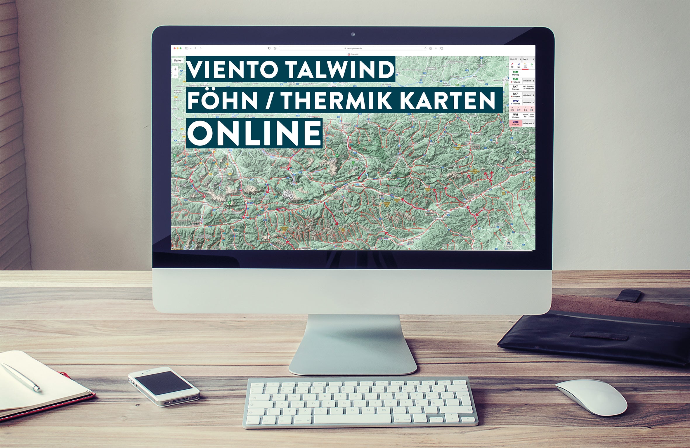
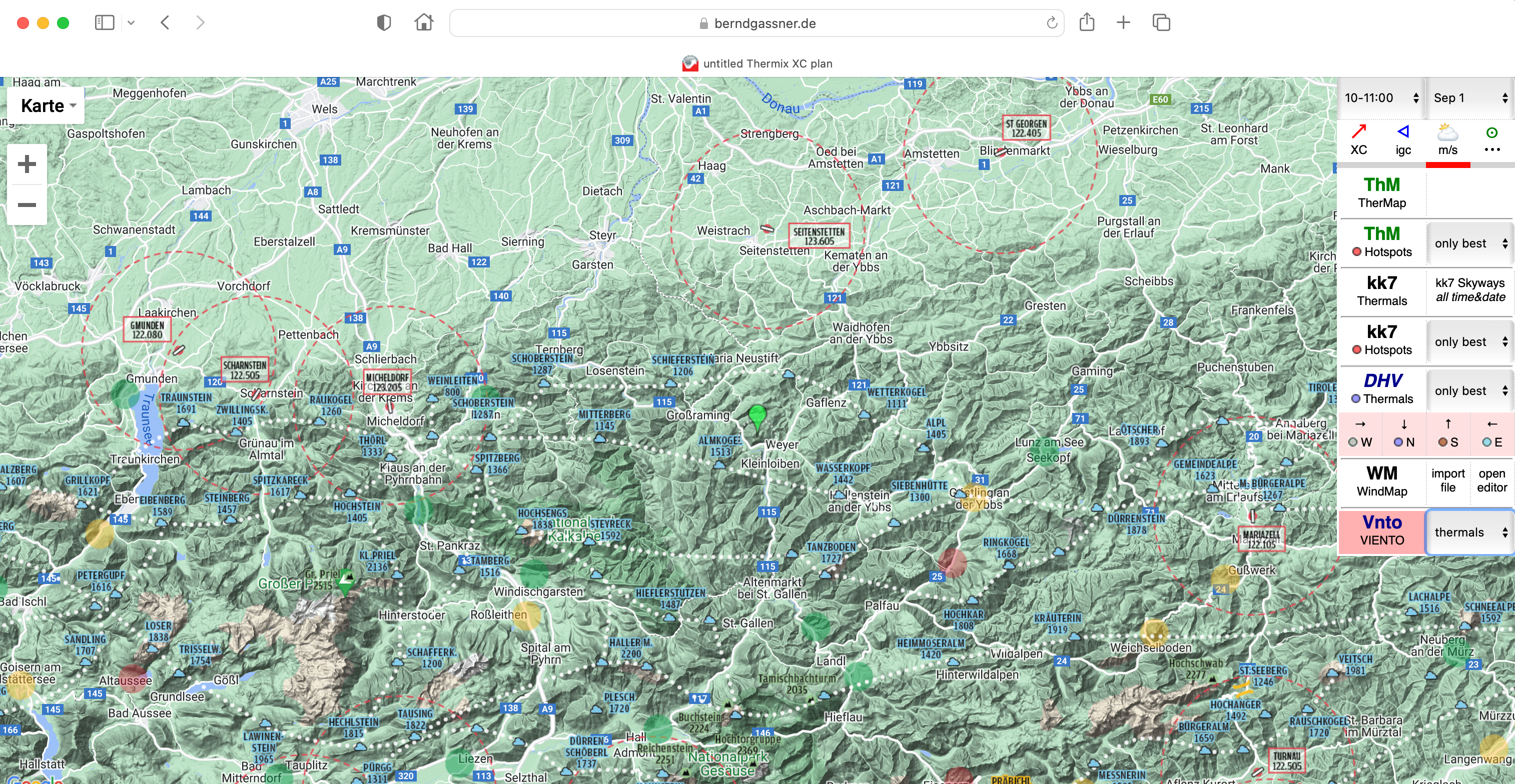
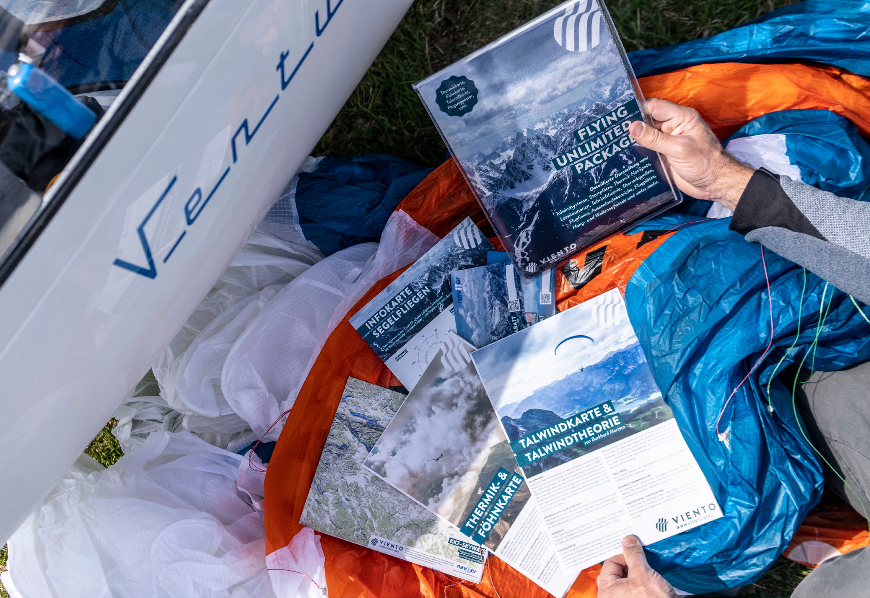
Thermal and foehn map
Standard content
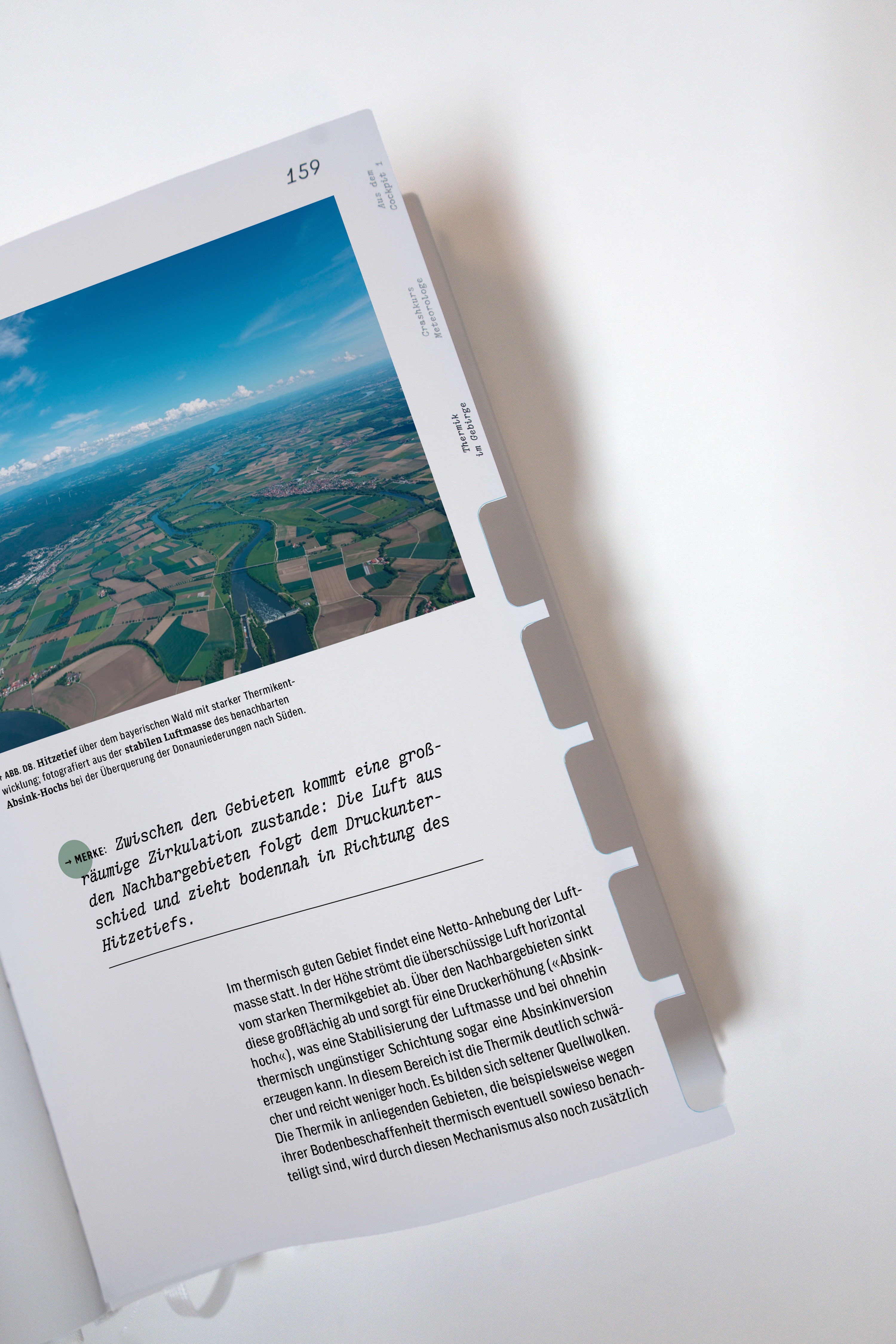
- Known thermal sources: The thermal sources shown are known hotspots that provide more or less updraft depending on the time of day.
- Airport radio frequencies including MIL/ZIV Freq.
- Good external landing option
- Moderate external landing option
- External landing option for emergency
- Good opportunities for main ridge crossings
- Good airline – often with queues
- Distinctive mountains/thermals including mountain name and height
- Important passes including height
- QR codes to important information pages
- 10km circles placed around all airfields
Additions for the latest edition:
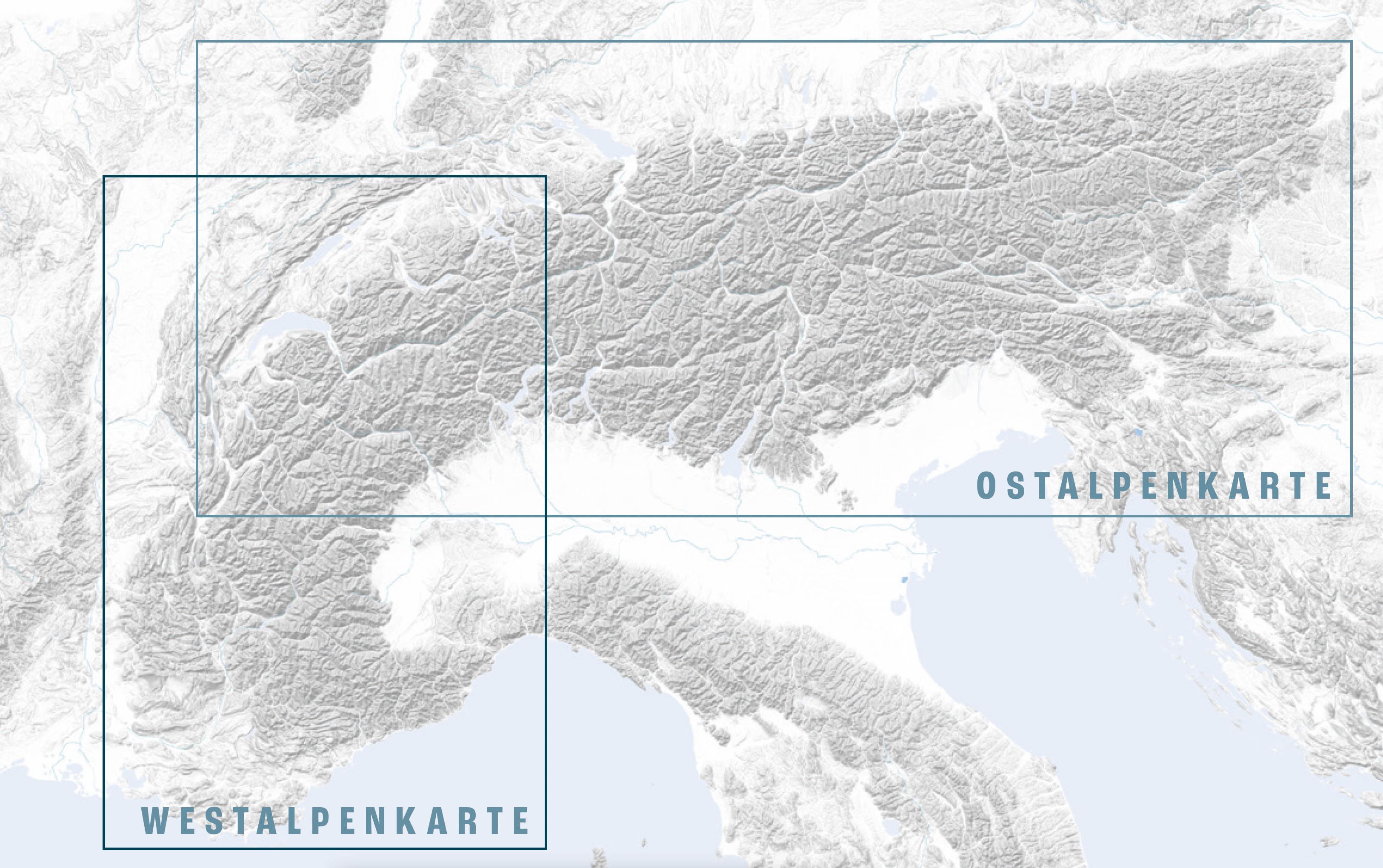
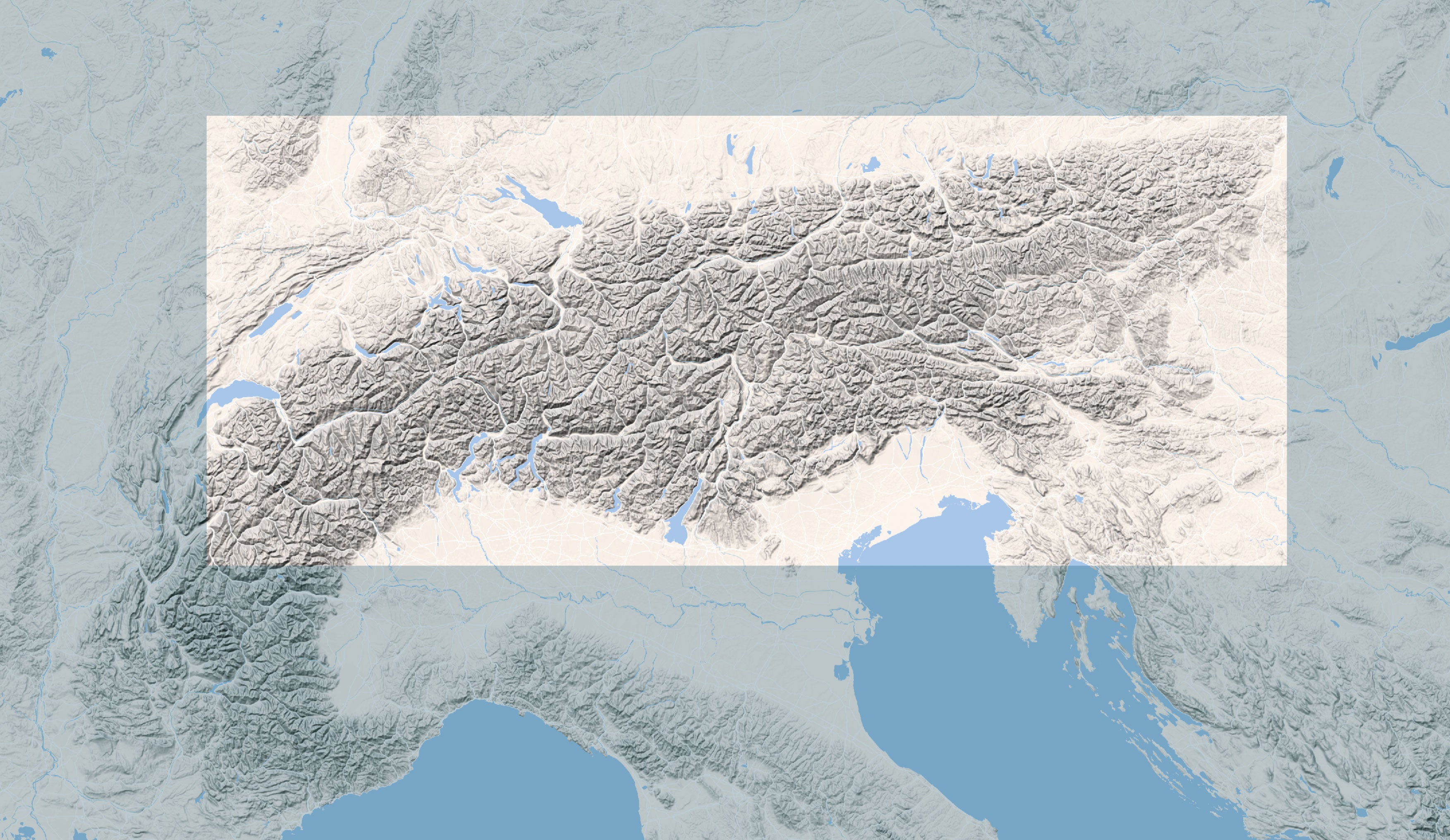
- Coverage: 80% of the Alps, Vosges/Black Forest to Trieste, Albertville/Mt. Blanc to Wr. Neustadt.
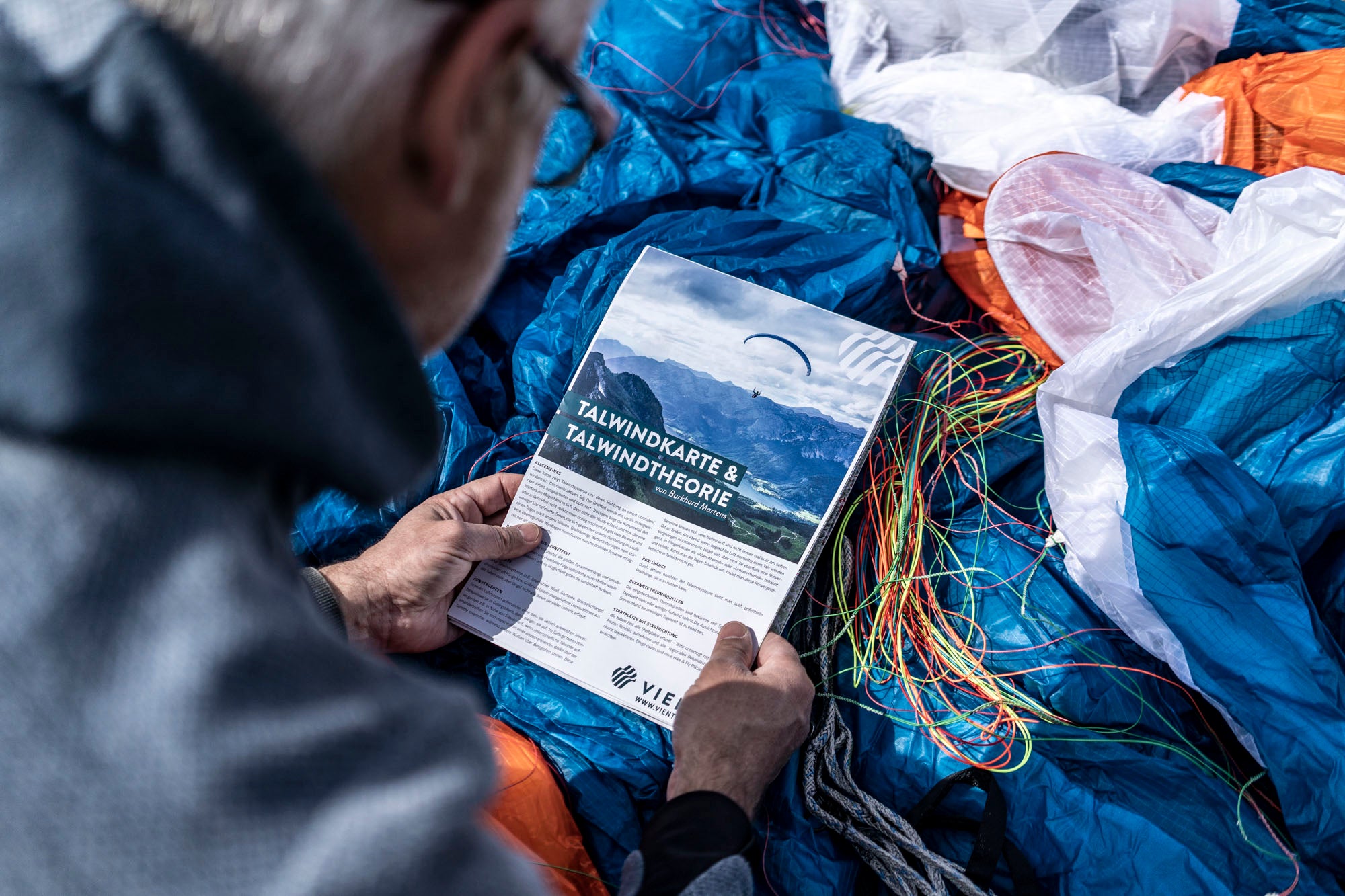
- Printed on the back: South and North Foehn map for optimal flight preparation
- Extensive revised link collection
- New areas: e.g. Ticino, Aosta, Lake Como, Bassano, Western Switzerland, Jura, Southern Vosges and Black Forest, Ljiak
- Bonus: Gliding info card, with an overview of the most important Alpine airfields including frequencies and assistance
Delivery:
- in plastic protective cover and anti-buckling cardboard envelope
- Format: 1400 x 590 mm open, folded: 198 x 295 mm
- printed on both sides
Sale price
€ 28,00
Regular price
€ 32,00
Tax included
Shipping calculated at checkout.
Thermal and foehn map
