


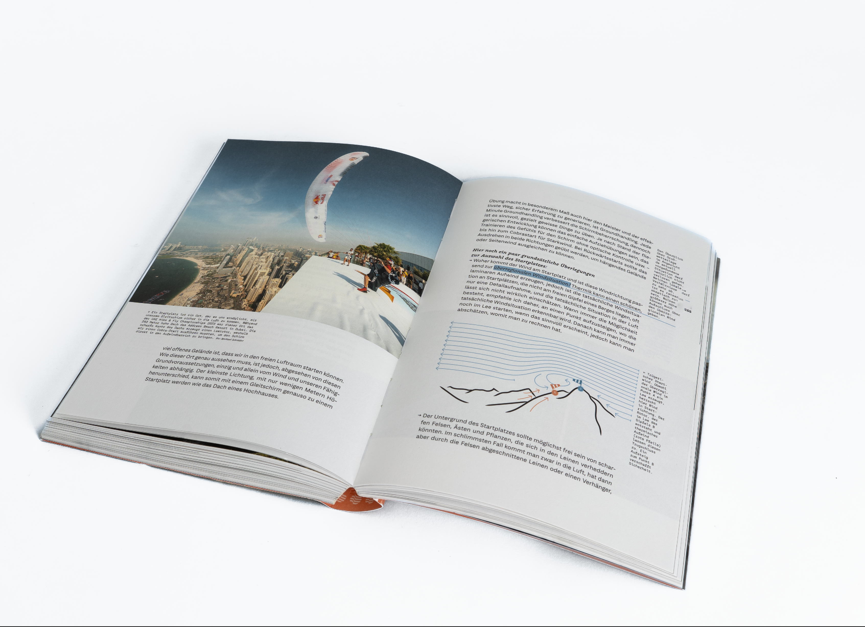


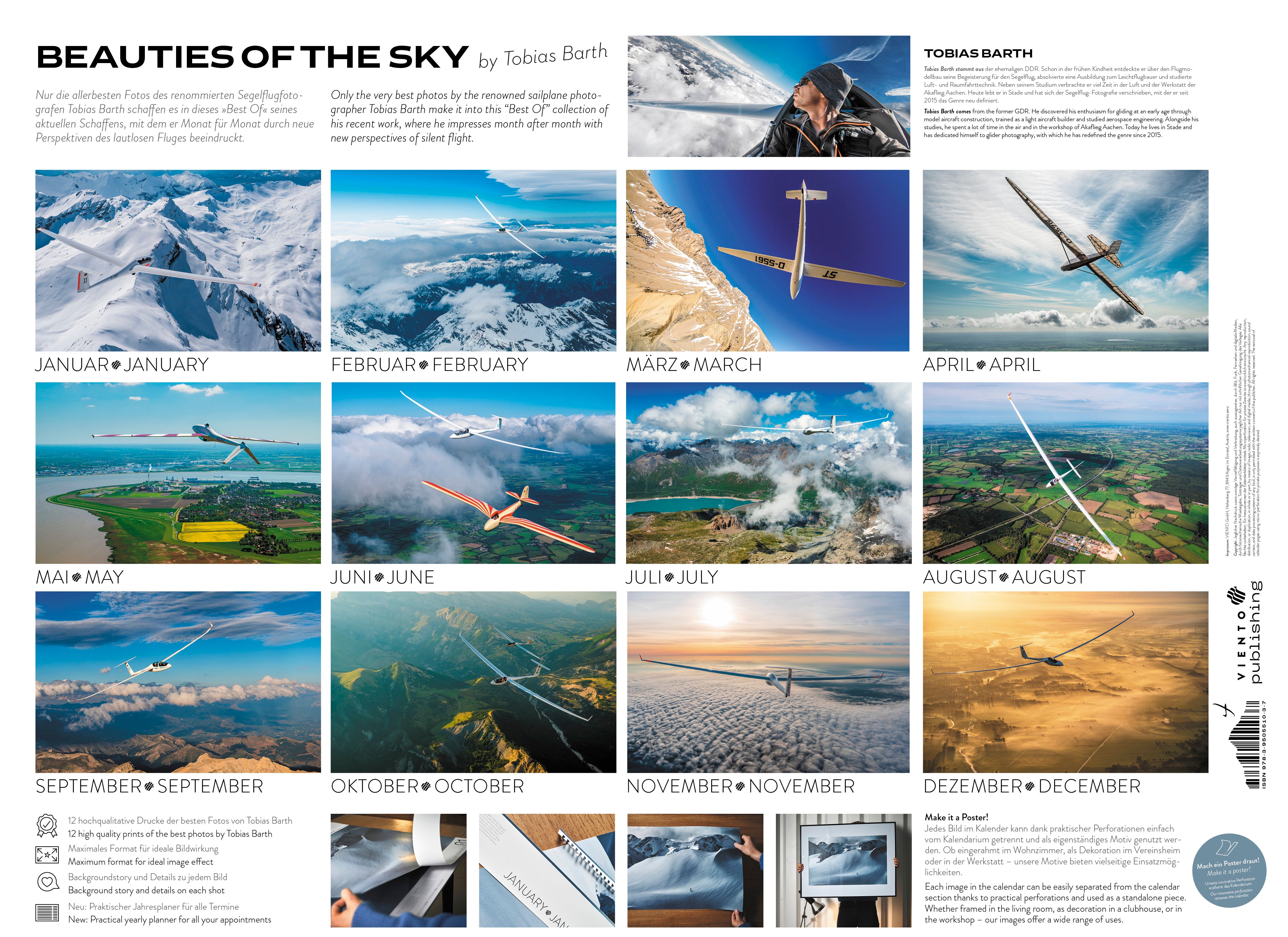


13% off


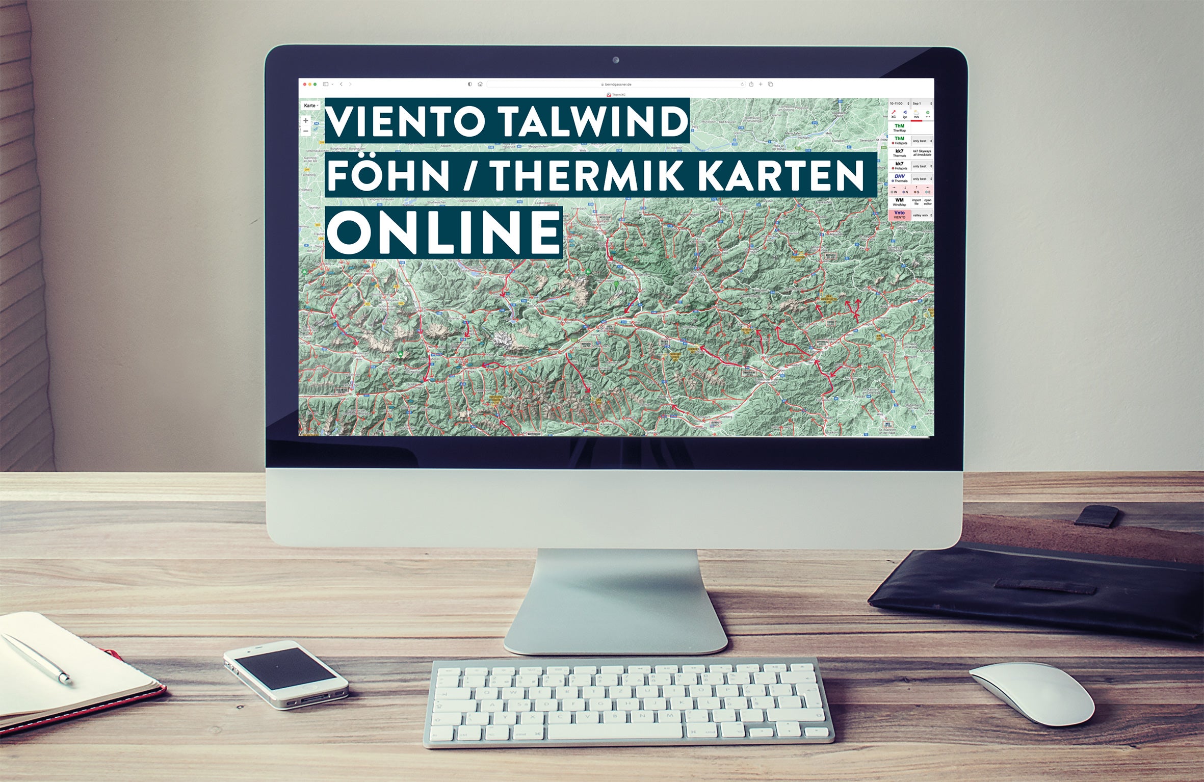
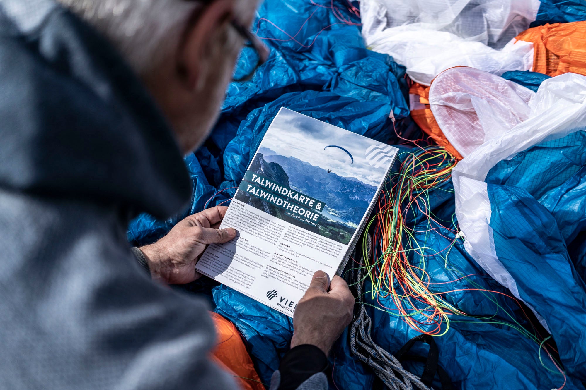
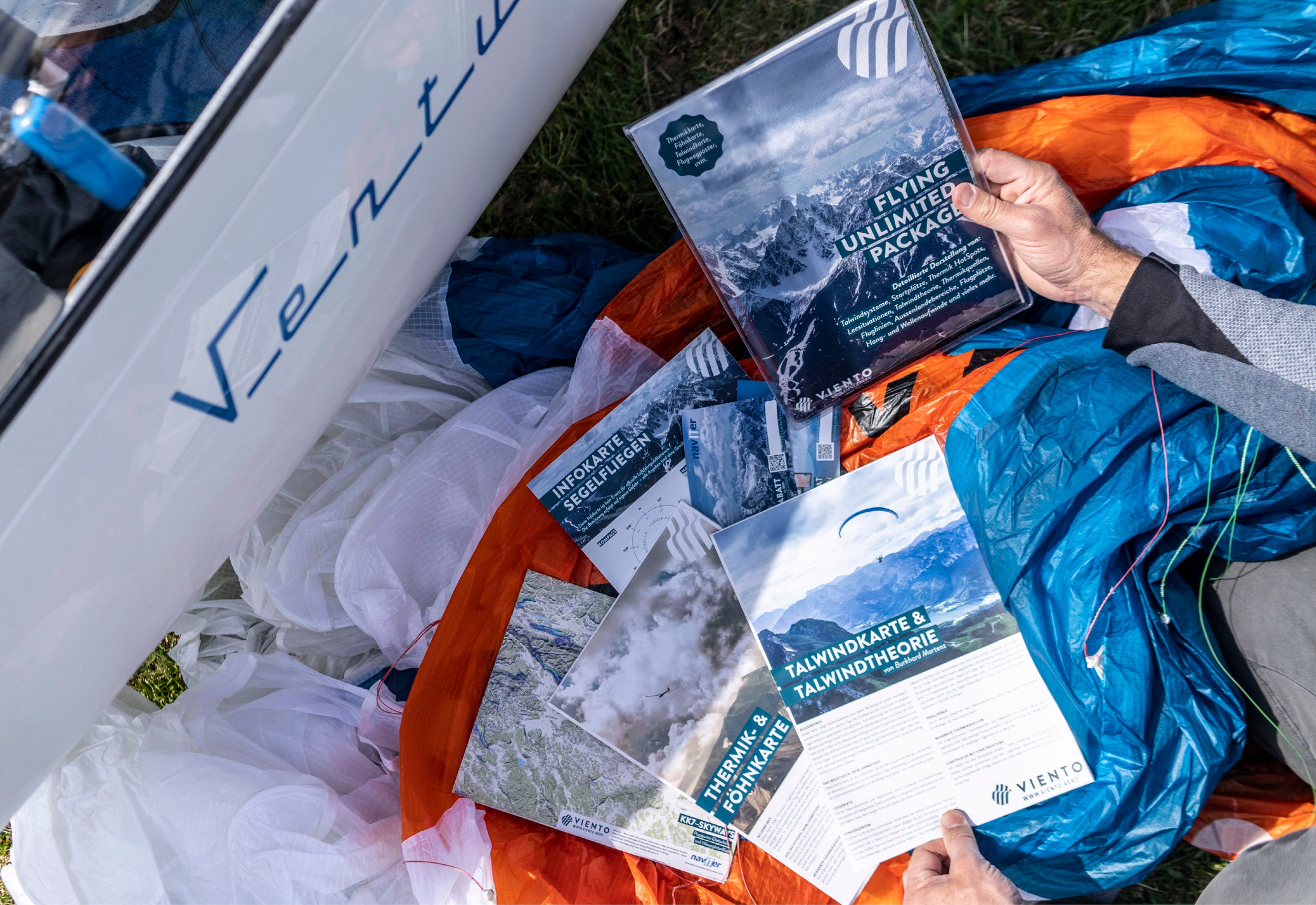
Valley wind map
Standard content:
- Normal valley wind up to 20 km/h with direction (thin arrow)
- Strong valley wind greater than 20 km/h with direction (thick arrow)
- Leeward areas: Strong valley wind systems (e.g. Bavarian wind) often overflow
- Slopes and ridges and create unpleasant leeward situations. We have marked some sensitive areas
- Many paragliding and hang gliding launch sites including launch direction
- Important passes including height
- Airports
- QR codes to important information pages
- Detailed map of the Dolomites with take-off and landing sites
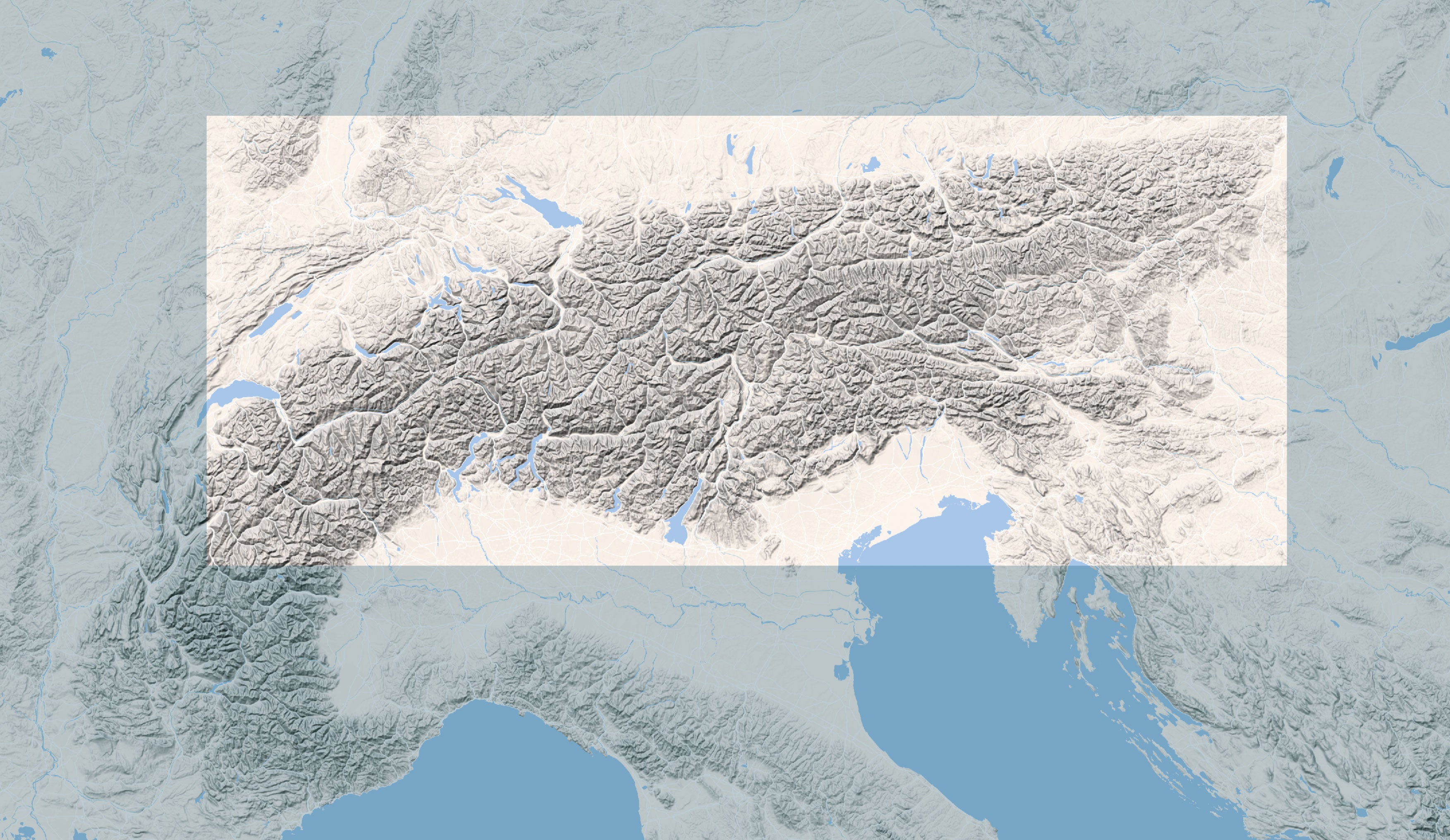
Additions for the latest edition:
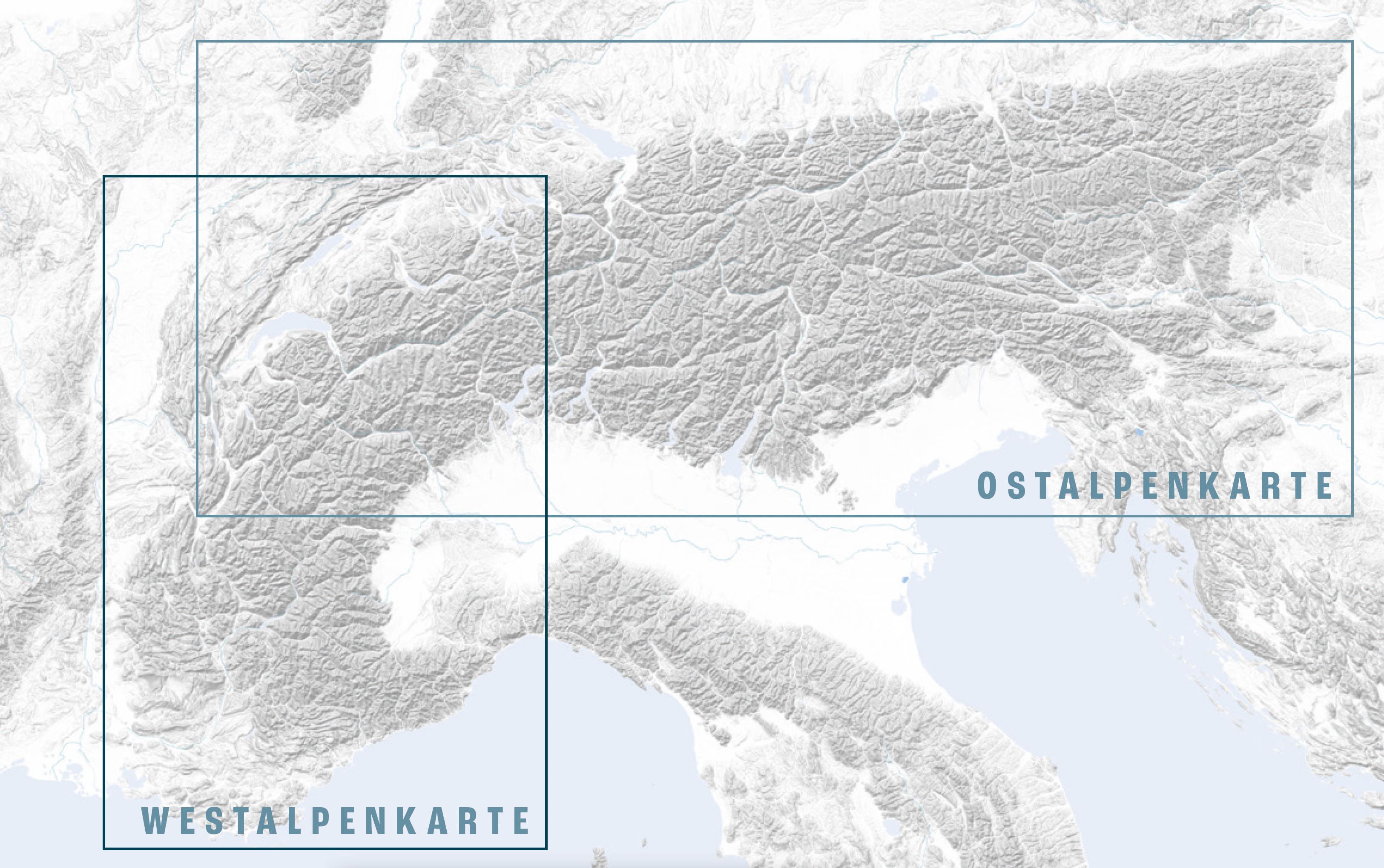
- Increased coverage: 80% of the Alps, Vosges/Black Forest to Trieste, Albertville/Mt. Blanc to Wr. Neustadt.
- New optimized relief display with KK7 thermal hotspots
- Printed on the back: Complete valley wind chapter from Burkhard Martens' thermal book in German and English
- Extensive revised link collection
- New areas: e.g. Lake Garda, Lake Como, Bassano, Western Switzerland, Jura, Southern Vosges and Black Forest, Ljiak
Delivery:
- in plastic protective cover and anti-buckling cardboard envelope
- Format: 1400 x 590 mm open, folded: 198 x 295 mm
- printed on both sides
Sale price
€ 28,00
Regular price
€ 32,00
Tax included
Shipping calculated at checkout.
Valley wind map
