


20% off


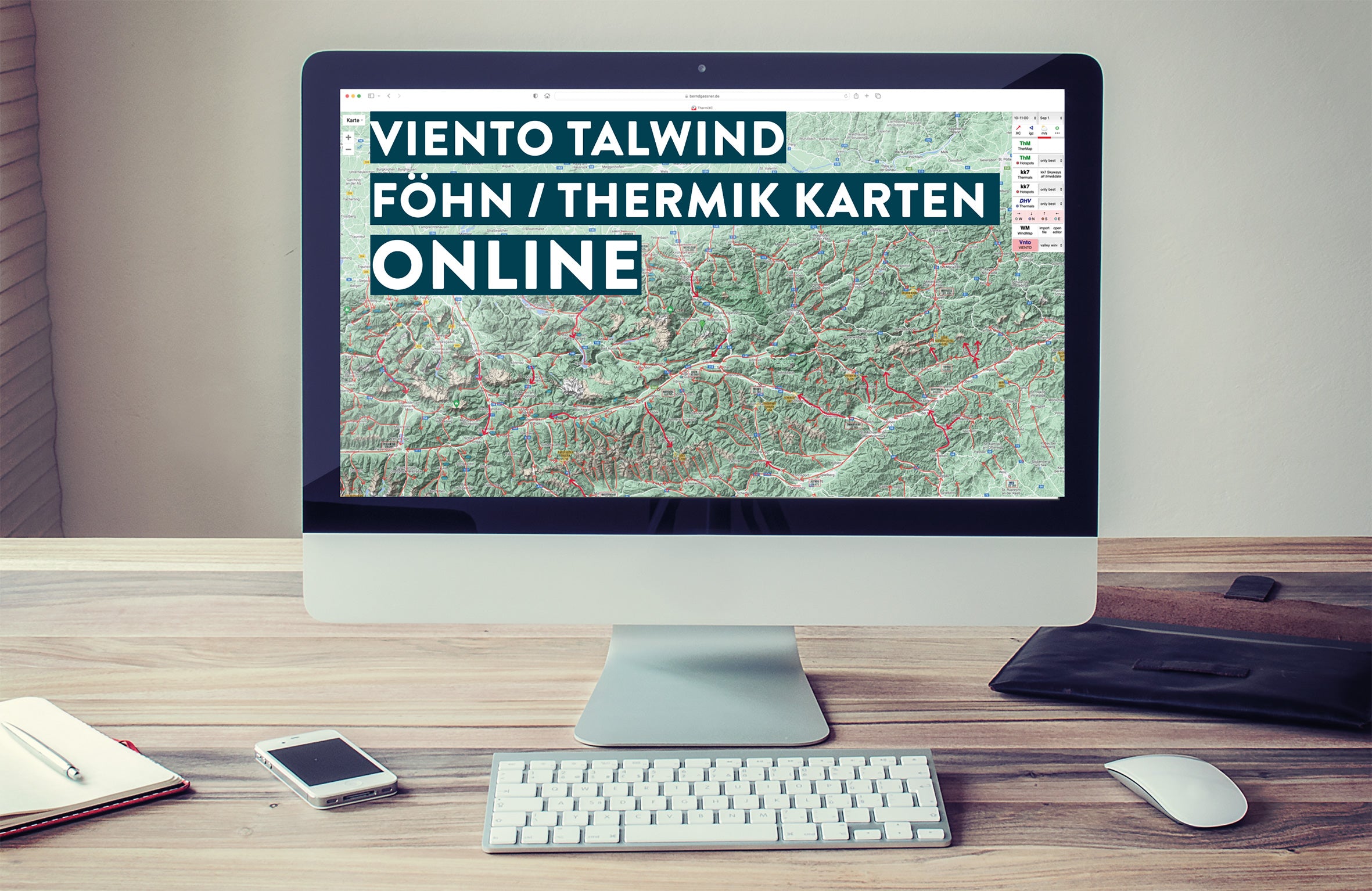
KK7 Skyway and Thermal Hotspots Maps
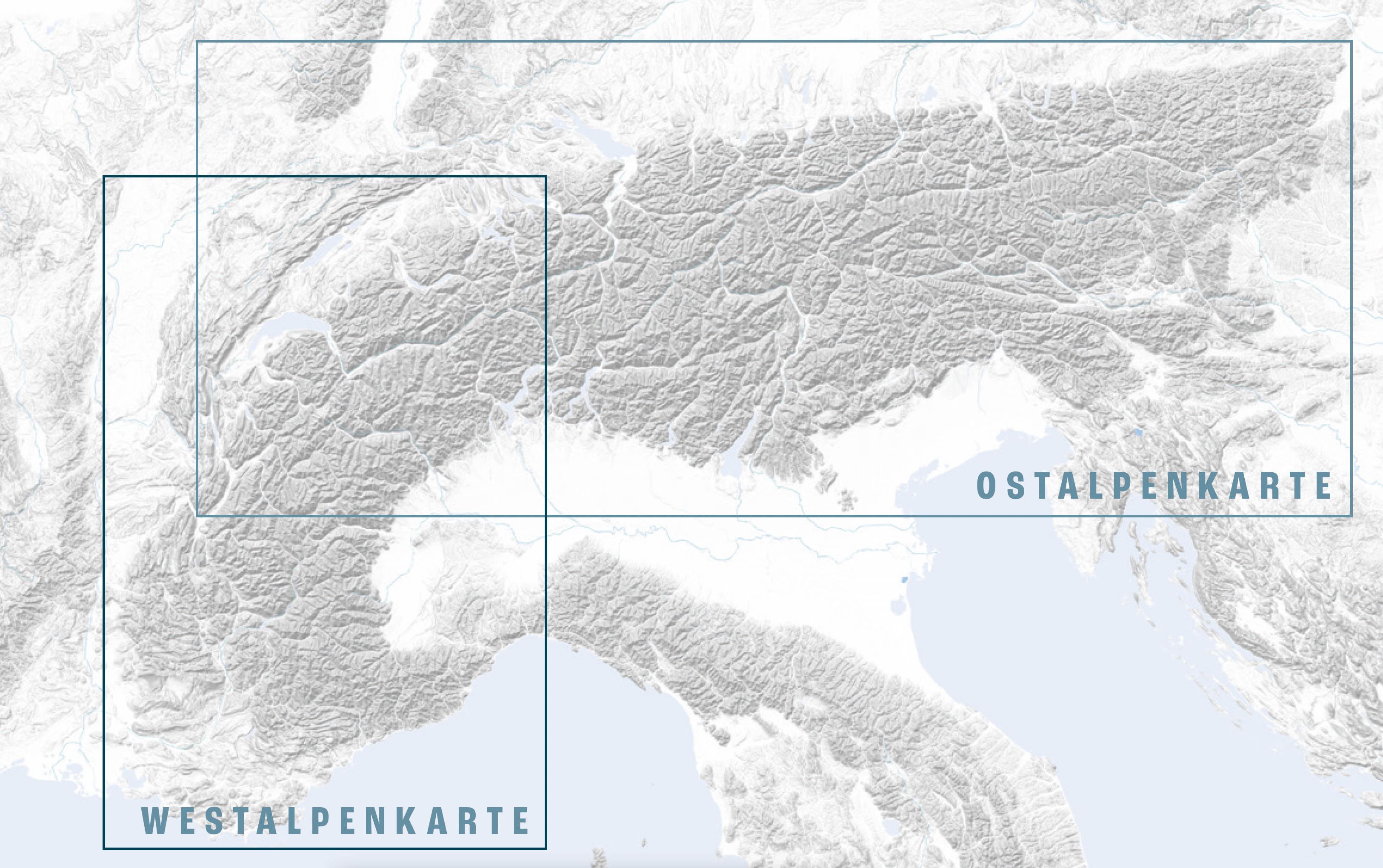
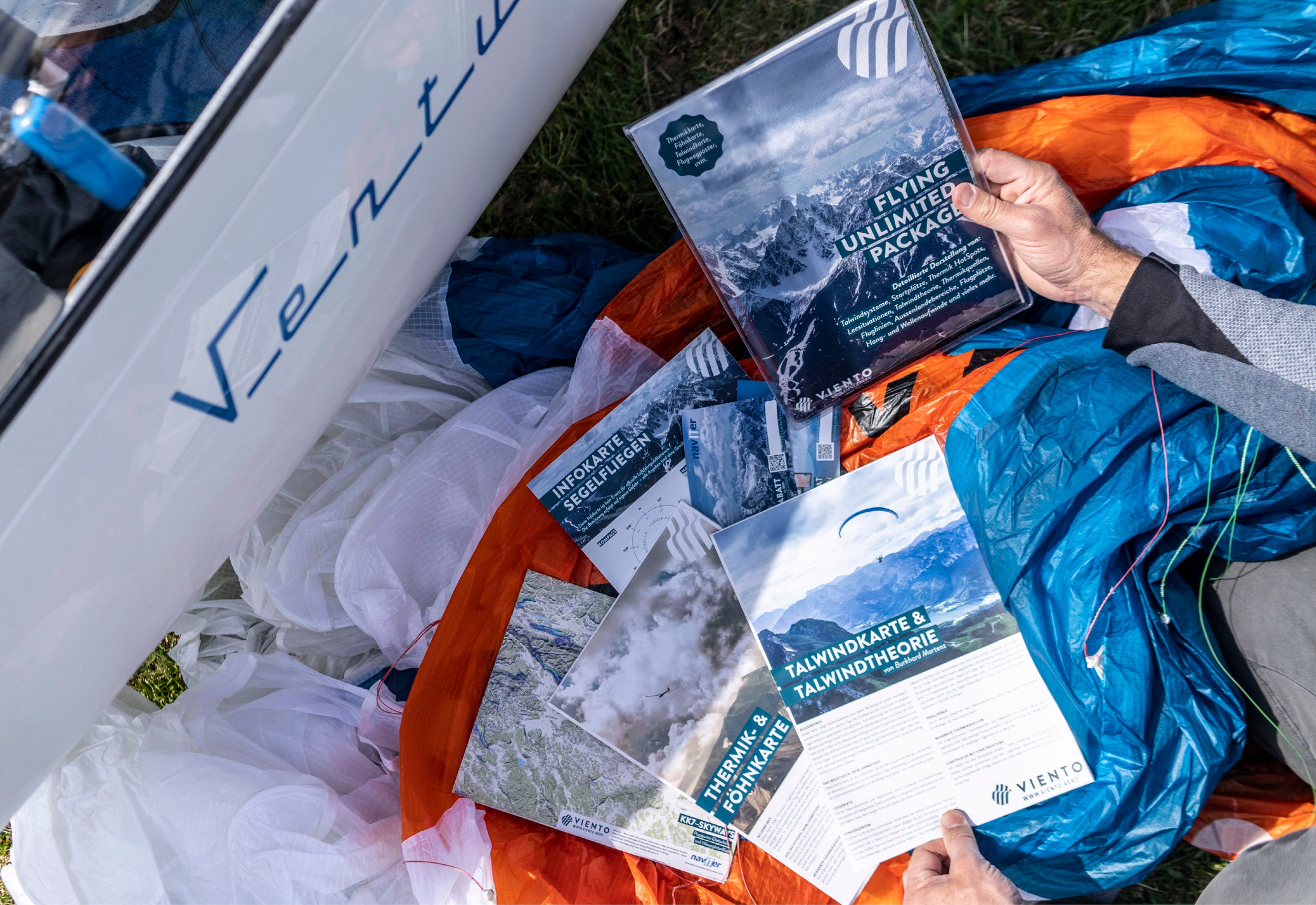
The well-known Skyways by KK7 (M. von Känel) show flight routes and routes frequently flown by paragliders and hang gliders, as well as thermal hotspots. Our map has a format of 930 x 380 mm, is folded into a small format for easy use and is printed on both sides. The clean presentation (only place names are shown) allows you to plan your flights ideally on the map. The skyways and hotspots display makes flight planning easier for all "silent" pilots.
Sale price
€ 5,60
Regular price
€ 7,00
Tax included
Shipping calculated at checkout.
KK7 Skyway and Thermal Hotspots Maps
