Mindset, Fundamentals and Techniques of Hike-and-Fly | The New Standard Reference for the Hike-and-Fly Community
In Wanderbird Strategy, paraglider pilot and renowned hike-and-fly specialist Paul Guschlbauer shares his extensive knowledge and experience with both beginners and advanced pilots.
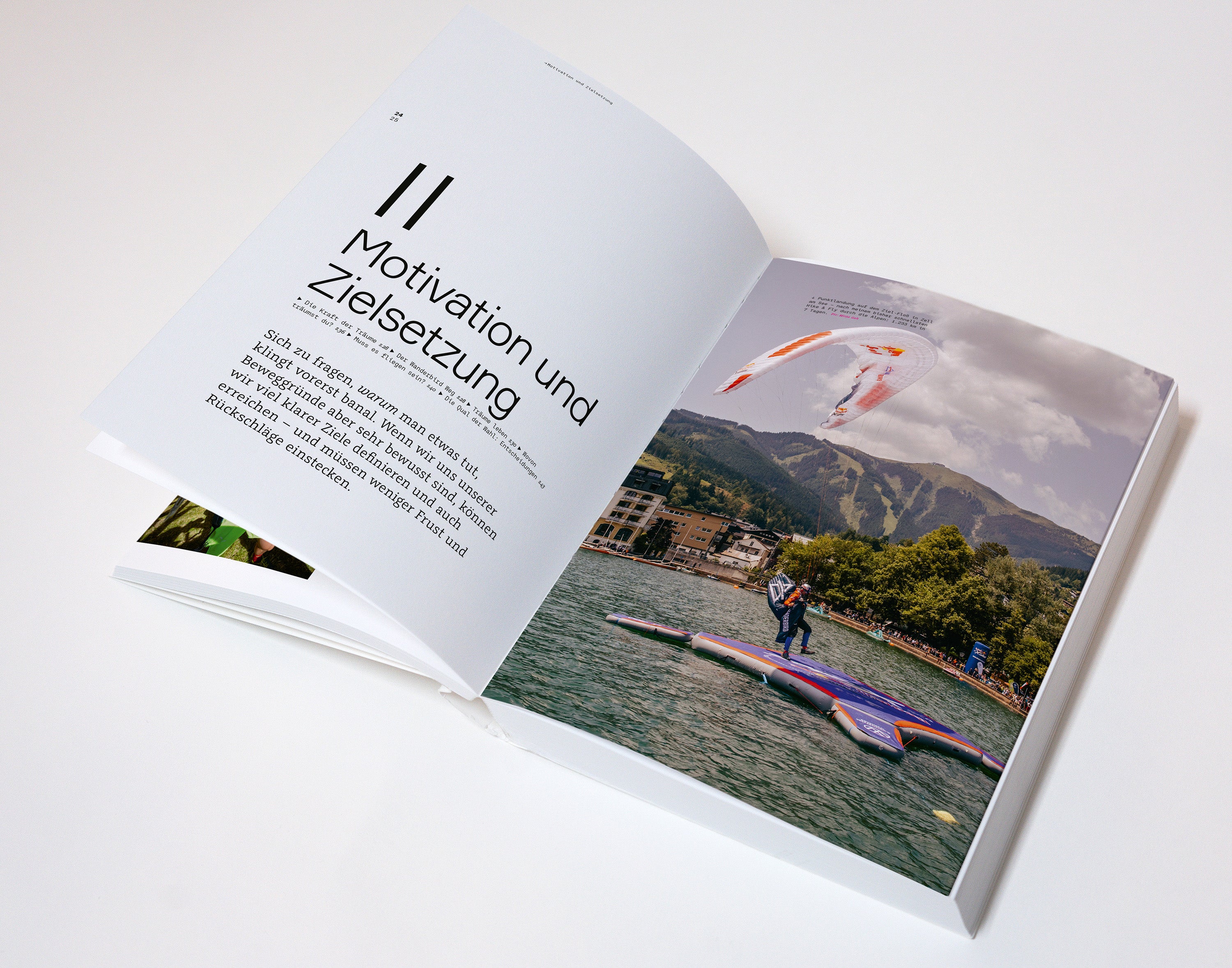
The book is divided into two parts: A theoretical section focuses on mindset, fundamentals, and the philosophical as well as mental aspects of hike-and-fly—from the deeper philosophy behind this sport to the psychological strategies required for success.
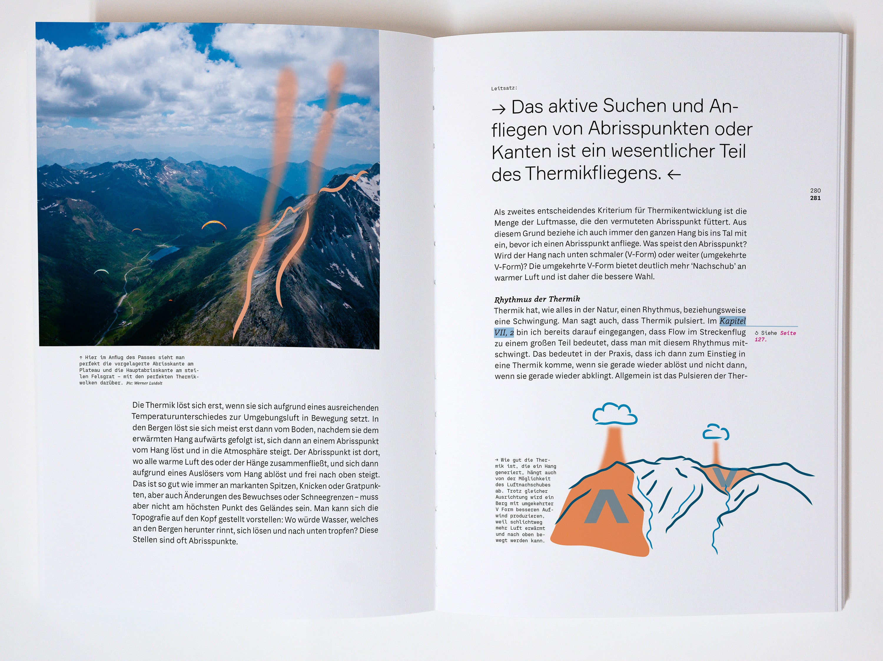
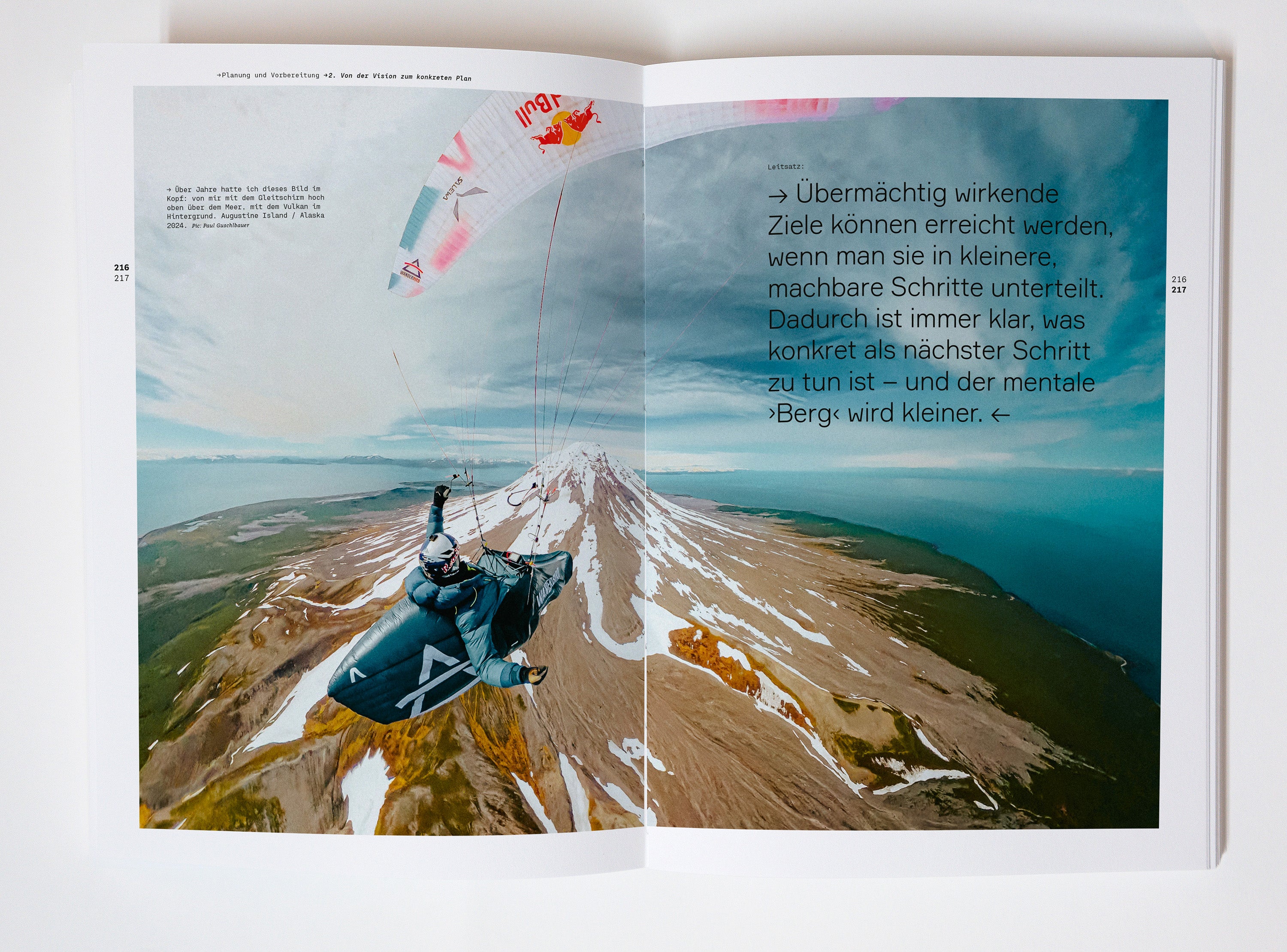
The practical section guides the reader through the essential skills and techniques needed to master ascents, take-offs, and flights. Guschlbauer blends solid expertise with personal anecdotes and insights, creating a profound guide that is as inspiring as it is informative. Wanderbird Strategy is more than just a manual; it is an invitation to expand the boundaries of what is possible and to fully embrace the freedom of hike-and-fly paragliding.
With a foreword by Thomas Theurillat (sports mental coach) and guest contributions from Aaron Durogati (Red Bull X-Alps winner 2025), Elisabeth Egger (first and so far only female finisher of the X-Alps 2023), and Veronika Mayerhofer (Olympian 2014, sports psychologist and psychotherapist).
- Softcover with embossing
- approx. 354 book pages
- German and English editions (separate)
- 170 x 240 mm
Deliveries outside the EU: For orders to Switzerland and Norway, we offer you a specially optimized shipping rate.
For orders from the UK and overseas — such as the USA, Australia, Canada, New Zealand, and others — we recommend our international partner from the renowned Cross Country magazine. You can check out their online store for that.
VIENTO Publishing: The Wanderbird Strategy | by Paul Guschlbauer.
Mindset, fundamentals and techniques of hike & fly: A new standard work for the paragliding community.

Paul Guschlbauer
Paul is a pilot and adventurer, known for his multiple participation in the Red Bull X-Alps. Paul is also recognized for his involvement in the aviation and outdoor community, where he advocates for safety, environmental protection, and sharing his knowledge with the next generation of pilots.
Flight schools, dealers and online stores: get »Wanderbird Strategy« now in your range:
The most comprehensive book on the subject of Hike & Fly—packed with knowledge, experiences, and inspiration. It appeals to enthusiastic pilots as well as beginners who are dedicated to paragliding. We look forward to hearing from you!


